2011-09-22
"Bended Maps" - New Demo Available
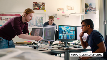
We have authored and published a new video to demonstrate the characteristics and potentials of our interactive "Bended Maps". The interactive multi-perspective visualization aims to exploit so-far unused image space and allows to seamlessly combine different visual representations, e.g., a detailed and a generalized city model, in one detail+overview depiction. "Bended Maps" are especially suitable for devices with small screens such as smartphones and car/pedestrian navigation devices. This demo includes work of former and current members of the Computer Graphics Systems research group: Haik Lorenz, Matthias Trapp, Sebastian Pasewaldt, Tassilo Glander, Markus Jobst, and Jürgen Döllner.
Link: "Bended Maps" on YouTube
Chair
Prof. Dr. Jürgen Döllner
Computer Graphics Systems
Hasso-Plattner-Institut für Digital Engineering gGmbH
Prof-Dr.-Helmert-Str. 2-3
14482 Potsdam, GermanyAssistant: Johanna Westphal
Room: H-2.15
Tel: +49 (0)331 5509-170
Fax: +49 (0)331 5509-172
Email: office-doellner@hpi.de
Computer Graphics Systems
Hasso-Plattner-Institut für Digital Engineering gGmbH
Prof-Dr.-Helmert-Str. 2-3
14482 Potsdam, GermanyAssistant: Johanna Westphal
Room: H-2.15
Tel: +49 (0)331 5509-170
Fax: +49 (0)331 5509-172
Email: office-doellner@hpi.de
Video Teaser